Today is the last day of 2019. Some say that it is the end of this decade. Not sure though, since it depends on which index they use :D. Anyway, I want to write my 2019 summary in this post. Mostly about technical or professional stuff.
January and February
I was still in my master first semester. In these 2 months, I learned about:
- Visualisation (presentation skill and some JavaScript visualisation libraries). Perhaps this (the presentation skill) is the most useful knowledge/skill for me. I feel I am getting better at presenting :)
- Image processing for remote sensing (using PCI Geomatica mostly). I learned some knowledge and skill about remote sensing and how to process the image. Unfortunately, Geomatica is not free.
- Geospatial Infrastructe (those Spatail Data Infrastructure / SDI stuff). Mostly non-technical. I am not really into it.
- Spatial Analysis (e.g. Using R for doing planar point pattern for earthquake analysis in Indonesia). A lot of statistic stuff but lack of R skill made it hard.
- Multimedia web stuff (Wordpress, Bootstrap, Tableu). Nice stuff.
March
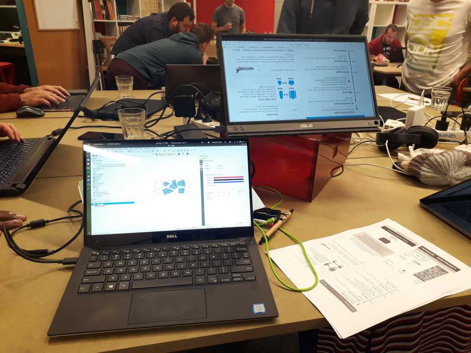
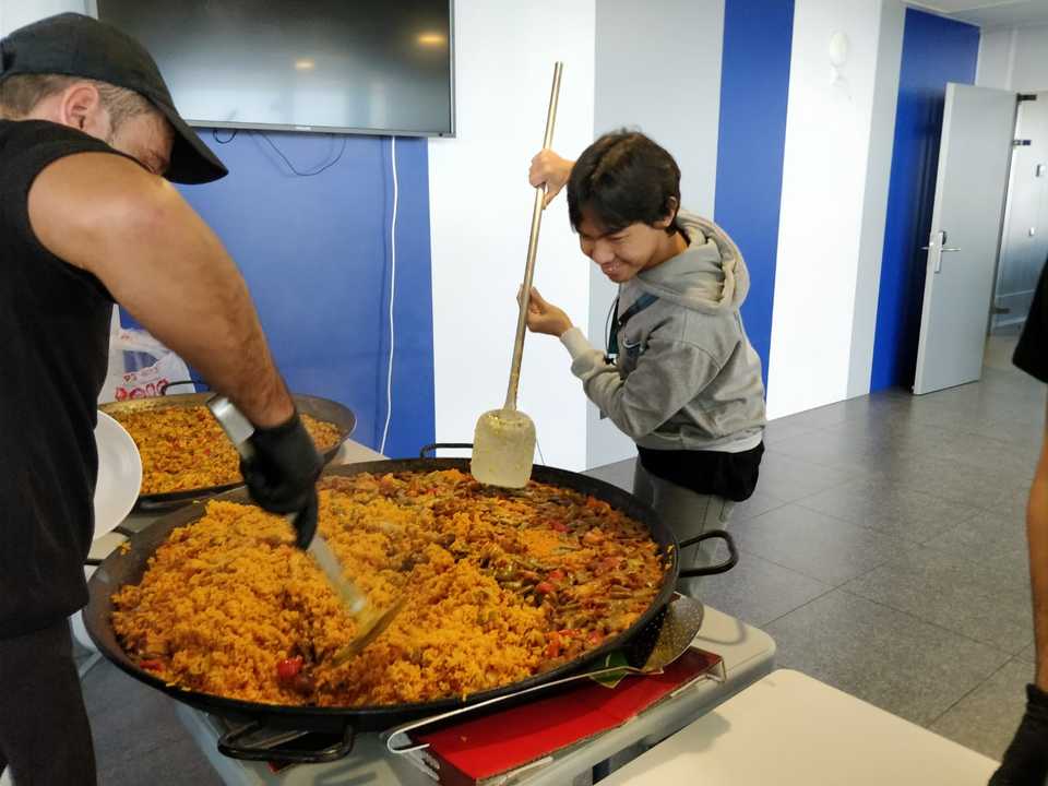
Short semester holiday. I attended QGIS Hackfest in A Coruna. It was really good experience. I was working on fixing bug on QGIS Visual Changelog and discussing my proposal for Google Summer of Code (GSoC) with Martin Dobias. The food was super!
I spent some days to go to Morroco for short holiday and moving to Muenster, Germany to start my second semester.
City Comment: Chefchaouen is so blue and white while Tangier has really good weather and good view!.
April, May, June, July, August
Second Semester
Here is the list of my second semester courses:
- Spatial Data Science with R. I learned R and its spatial data science from one of the best professor I ever had, Prof. Edzer Pebesma. He knows R from the heart :)
- Project Management. We need to organize a conference called by Geomundus. It would be held in UJI, Castellon, Spain. I am part of the web team (mostly developing the conference website).
- Geoinformatics Forum. This course invites different speaker every week, speaking about their research. Some talks are interesting, others are boring unfortunately.
- Unmanned Aerial System. My expectation was flying drone. It turned out a course about data collection using drone and process them. Not so satisfying, but I manage to learn about running QGIS Model from A Docker container. Please check it here. I also flied the small drone :).
- Routing. This is probably the most interesting course. We need to do small research regarding pedestrian routing. We need to gather data, develop two algorithm, and analyze the result comparing with the data we collect. You can read more about it in this Github Repository. It is well documented.
- Spatial Cognition. It is more about theoritical side of GIS. It offers some interesting insight about how we think about spatial information.
- Advanced Research Method. It is about writing a thesis.
- German language course A1.1. Now, I understand that German language is hard.
- Geospatial Technologies. I am not sure why they made it mandatory and put it as a block course in August.
GSoC
(Un)fortunately, I need to work on my GSoC project before holiday. It means, I needs to juggle between my study and working on GSoC. In the end, I managed to finish it :) You can read the final report here.
FOSS4G and QGIS Contributor Meeting
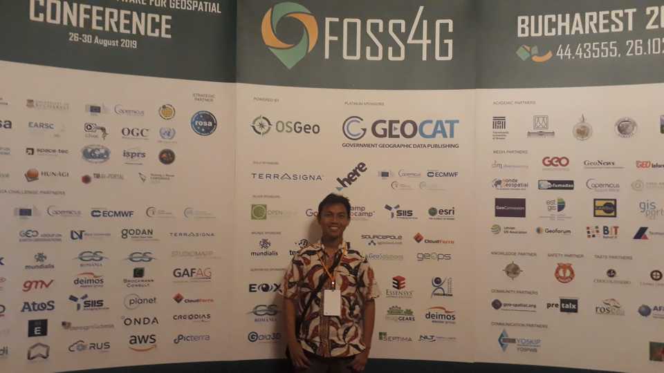
This is my first time attending a conference as myself in FOSS4G in Bucharest, Romania. I am quite proud of it (I am quite introvert, hehe). I met with many awesome people and get some interesting insight from the conference. For this conference, I paid the ticket myself, with 50% student discount. I should apply for the travel grant, but I thought I will be busy with GSoC. Anyway, it is worth it. I even made a bussines card for me, hehe.

Before the conference, there is this QGIS Contributor Meeting. I mostly worked on my GSoC project.
City Comment: Bucharest is quite hot in August. It’s like Jakarta at some parts. I found Indonesia song played in one of the Kebab shop :D.
September
Start working on theses. It’s about testing R implementation across different operating system for geospatial workflow. It’s quite technical and more complicated than I thought. You can check my works: thesis, docker images for testing, altRnative (R package for testing).
I also attend German Course A1.2. Now, I know that German language is even harder than I thought before. But now the teacher is much better :)
October
Still working on thesis.
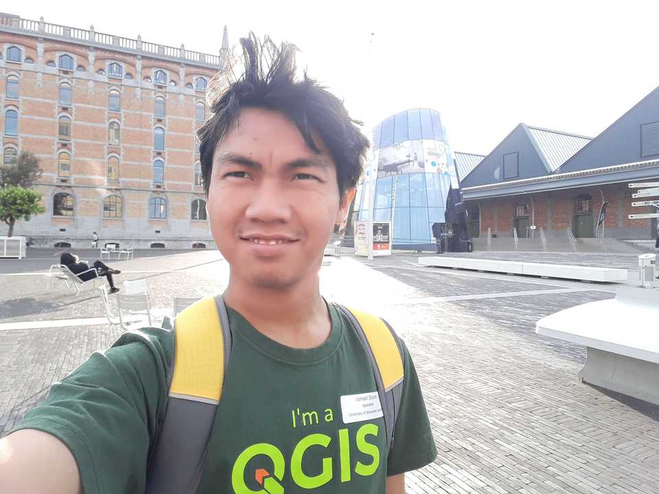
I also went to Brussel to present in FOSS4G Belgium. I wrote a blog post in here. Brussel is indeed big city, many delicious food for us :D.
November
Still working on thesis.
I also went to Castellon, Spain for the Geomundus conference. In this conference, I also helped Tim Sutton for his workshop about “Building a QGIS-based field data gathering platform” by using QGIS, Input, and Mergin.
In this point, I have attended conference as participant, presenter, and comitte (and workshop helper). :D
I also start this website in November.
City Comment: After that we visit Granada and Malaga. A really nice place to visit, especially Alhambra.
December
Still working on thesis.
And start looking for jobs.
If you are interested to hire me, please contact me by email at imajimatika@gmail.com :D
Fiuh, that’s all. It’s longer than I thought, even I made it simpler. More stuff happened in 2019 is unwritten in this post, but I think it’s enough. Hopefully, 2020 is much better!!
Fin.


